[ English ] [ Japanese ]

[ English ] [ Japanese ]

The Photographs of the Florida Shores (Coast) where i have been to are mainly introduced here. These photos are about only several places yet, but the final aim is covering all shores in Florida.
By the way, I have some Satellite Images that are collected for my research. I think these are very important information for the coastal engineeres. Therefore, I expose some of these images in this page, too.
 |
Satellite Image of Florida Peninsula-> here |


The estuary of St. Johns River (one of the biggest river in Florida) is near from this beach. The sand supplyed from this river sediments from here to Cape Canaveral.


The particle size is very small and settles hardly. Therefore, cars can run in the beach.
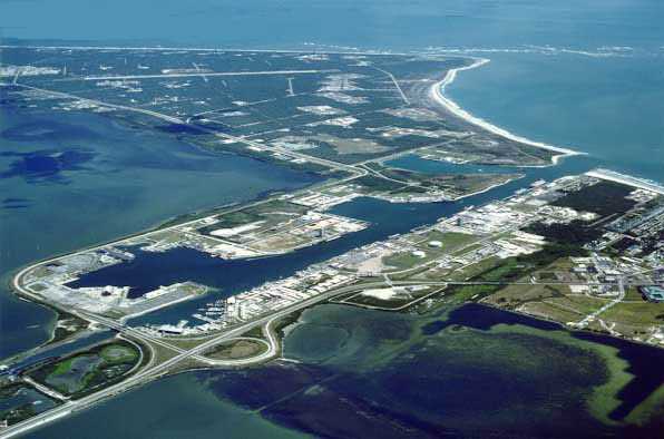
Cape Canaveral(139kb)
Cape Canaveral-Port Canaveral(88kb)
Port Canaveral(142kb)

This beach is Sedimental.


This beach is Erosional.


The coasts of Florida Keys are made by the mudstone and the coral sand. There are mainly Sedimental and the shallow beachs around the keys.
Especially, the Florida Bay where the reagion between the keys and the peninsula is a shallow (10m or shallower isobath) area. But the isobath of the southward in the Atlantic Cocean from the keys is shallow aroud the keys, but soon changes greatly in the rapid descent topography.
If we grub the sand in these beachs, we can smell like a sulfur. I think it seems the microbe acts vigorously and this is a healthy beach. 


GLESCO
Copyright
( GLobe, EStuary and COast )
Hydrauric Engineering Lab.
Nagaoka University of Technology